Walk
The creek two days after rain, when it is still loud
A storm turns this water from an ornament into a piece of machinery, and for about seventy two hours afterwards you can see exactly what it does for a living.
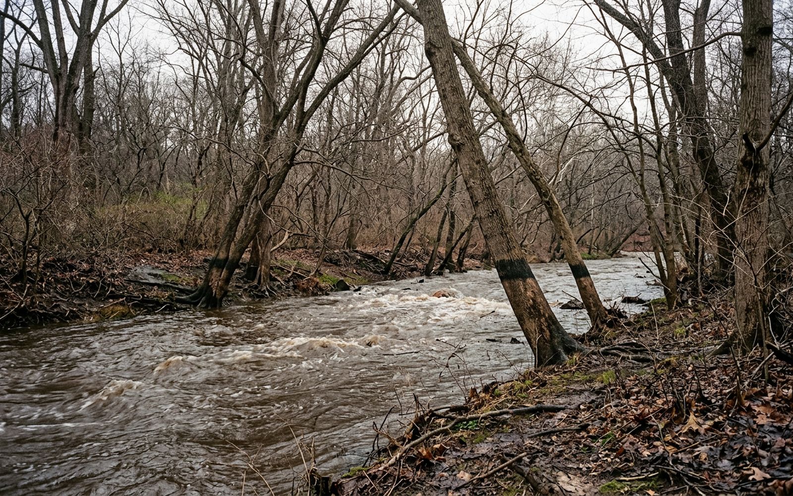
The creek runs the whole length of the northwest quadrant like a seam in a coat, and for most of the year it is decorative. Two days after a heavy rain it is not. It is brown, fast, four feet up its own banks, and audible from three streets away.
That is the day to walk it, if you can. Everything the water does in a year it does in one afternoon, and it leaves the evidence lying about in plain sight until the next rise takes it away.
The route
Start where the road drops down to the water in the upper park and follow the bank south. The path is on the east side for the first stretch, crosses at a footbridge and comes back over about a mile further on.
Four and a quarter miles measured, including a quarter mile retraced when the lower crossing turned out to be underwater. Two hours and twenty minutes with stops, on a cold bright afternoon after three days of rain.
What the water leaves
The silt line is the thing to look for first. It sits on the trunks as a pale band, and it tells you exactly how high the creek got and how long it stayed there. On this walk the band was at chest height on the trees closest to the bend, which is a great deal of water for a creek you can normally step across in three places.
Then the wrack line: the row of sticks, leaves, plastic and last year's grass that the water lifts and drops when it falls again. It draws the flood in one line across the flat ground, and it is worth following for a hundred yards because it shows you where the creek wants to go when it is allowed to.
Where the paths stop working
- The low crossings go first. Any stepping stone route is out for days. The footbridges are fine and the road bridges are fine, and everything at water level is not.
- The flat sections turn to clay. Not mud, clay: it sticks to the boot in a slab and doubles the weight of your feet within a quarter mile.
- The cut banks become edges. Where the water has taken a bite out of the bank, the top can overhang by a foot with nothing under it. Stay back from the lip on the outside of a bend.
- The road that runs beside the creek is closed to cars at weekends, which makes the whole valley quieter than it has any right to be nine miles from a runway.
The surface, honestly
Packed earth and gravel for most of it, brick and asphalt where it passes under the bridges, and clay wherever the ground is flat and low. There are stairs at two of the road crossings, both short, both avoidable by staying on the valley floor and going further.
Nothing on this route requires scrambling. Two stretches require deciding not to, which is a different skill and a more useful one.
What it sounds like
Loud, and then suddenly not. The creek is at its noisiest in the narrow sections where it drops over ledges, and in the wide slow bends it goes almost silent while carrying the same water. Walking from one to the other in five minutes is the clearest lesson in hydraulics anybody has ever given for free.
Above the water there is the traffic on the bridges, which arrives as a hum rather than as cars, and after that very little. In February there are no leaves to soften anything, so a woodpecker two hundred yards off sounds like somebody knocking on your own door.
Doing it yourself
Wait for two days after the rain rather than going during it. Wear boots you do not mind writing off, keep off the lips of the cut banks, and turn around at any crossing that has water moving over it, because moving water is heavier than it looks and always has been.
If a crossing on this route is gone for good rather than for the week, write to the desk and it will be corrected in print.